
alexsingleton
Alex Singleton
Recently Published
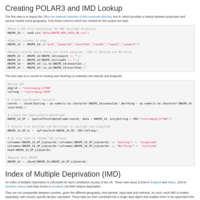
Search Data Input for the IMD and POLAR
Creating input data and boundary files for a website that enables search of POLAR and the IMD.
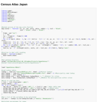
Census Atlas Japan
This is the code that I used to create the small area census atlas for Japan. This relates to 2010 data.
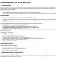
Geodemographics and Social Marketing
This practical explores the use of geodemographic classification in a social marketing context for Leeds.

Detecting Neighbourhood Change
Detecting neighbourhood change in Liverpool.
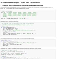
2011 Open Atlas Project: Output Area Key Statistics
The following code amalgates the key statistics data from the 2011 Census into a single table, and then creates Output Area level maps for each local authority district.
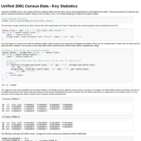
Converting 2001 Census Data into 2011 Boundaries - Key Statistics for England and Wales
This code is pretty rough, however, presents a method of converting 2001 Output Area level census data into the new 2011 boundaries. This would be useful for change analysis when the new data are available.
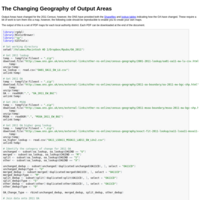
The Changing Geography of Output Areas in 2011
Output Area geography has changed for the 2011 census, however, not by much. This code examines where these changes have occurred for each local authority. PDF maps can be downloaded.
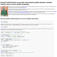
Using R with Routino to provide road network paths between random Tweets and an iconic Smiths landmark
This example demonstrates how the Routino library can be called from within R, and used to calculate a network route between two locations. In this example, locations are extracted from Twitter and used to find the distance to the Salford Lads Club. The results are also mapped.
Building a geodemographic classification using gd
This summer's project was to experiment with R packages and build a set of functions that enable the creation of geodemographic classifications. The package definitely still needs some work, and has only been tested on OS X.